Image
There are 85 km of bike routes in the City of Campbell River. This includes:
The Master Transportation Plan [PDF/16.2MB] (2026) includes the vision "Campbell River is a community where residents have transportation options that are safe, comfortable, affordable and accessible to all ages and abilities."
The MTP includes the following short-term (one to three years) cycling improvements:
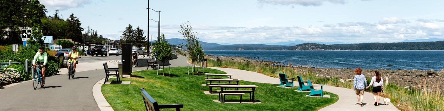
It's a 28 km, wheelchair accessible, recreational trail linking Campbell River’s Forests, River, Ocean and Greenways (FROG). The Loop’s vision, design, construction and maintenance include time, money and resources from countless volunteers and organizations.
Almost every Campbell River resident lives within 5 km of the Loop.
The Campbell River Go By Bike committee is a partnership between the City, River City Cycle Club and the Campbell River Cycling Coalition. The group has been active since 2008. The Committee is dedicated to encouraging cycling in Campbell River and to work towards better cycling infrastructure in this community. Biking supports a cleaner environment, a healthier population and reduced green-house gas emissions.