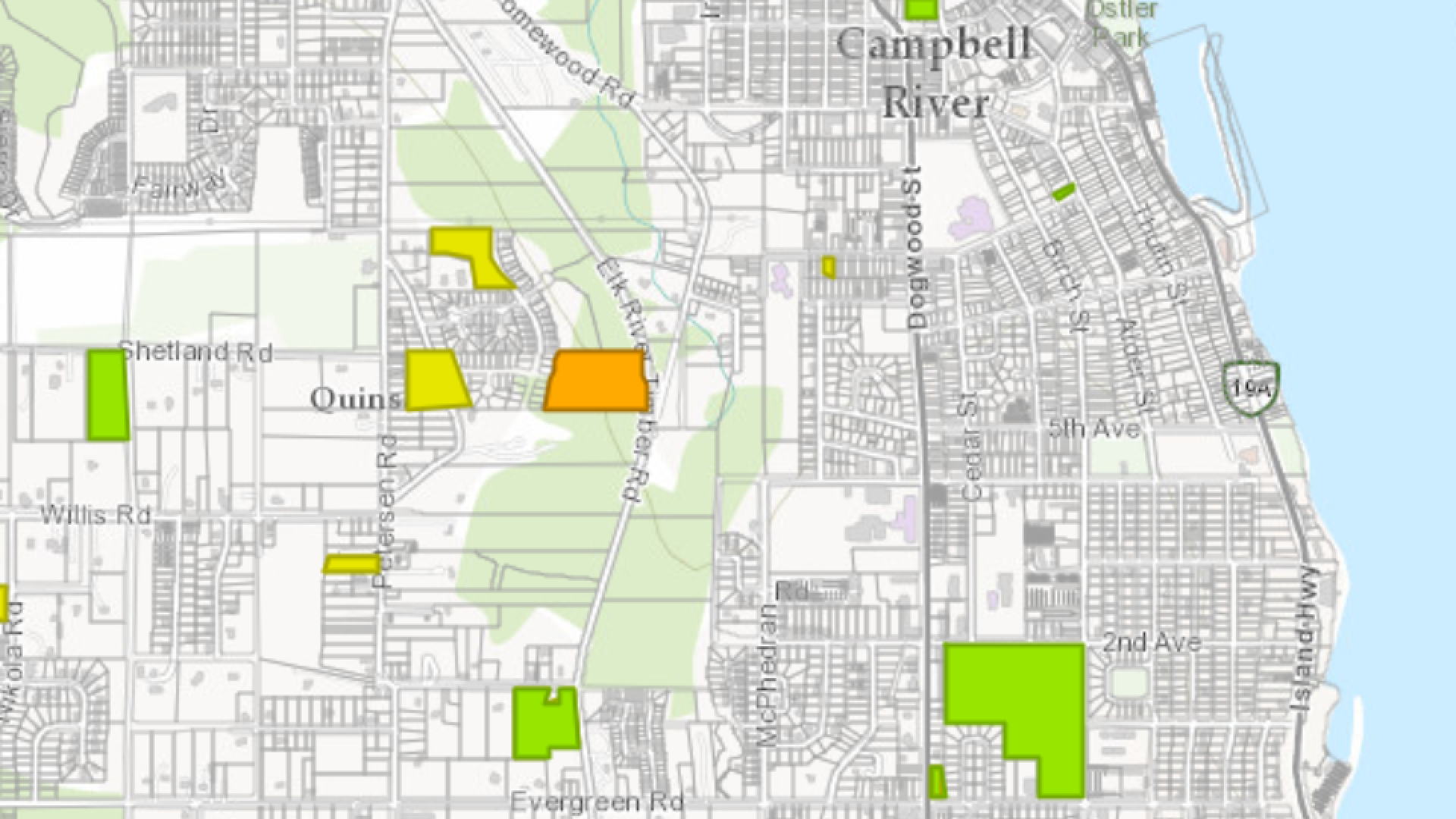
The information delivered on this interactive web map (the “web map”) is provided as a public service by the City of Campbell River (“City”) on the terms set out below. In return for the City granting access to the city web map, the person (the “User”) accessing this service agrees to and accepts these Terms of Use.
Campbell River City Web Map is supplied on an “as is, where is” basis. The City assumes no obligation or liability for the use of the web map by any person and makes no representations or promises regarding the completeness or accuracy of this web map, or its fitness for a particular purpose. The web map may contain errors. Campbell River City Web Map represents a one-time capture of information as it exists at the time the information is transferred to the web map. It does not necessarily include the ongoing updates or corrections to the source databases maintained by the City or other agencies and included for the City’s internal purposes. This map is intended for general references only and must not in any way be interpreted to be legal nor be used to establish legal lot sizes or dimensions. Legal information or descriptions must be obtained directly from the City of Campbell River through a visit to City Hall at 301 St. Ann’s Road in Campbell River.
The User will use this web map for only the User’s own internal business operations, and personal purposes and may not re-sell, sublicense, or operate a service bureau using the City of Campbell River Web Map, or otherwise reproduce, publish or disseminate the web map for commercial purposes, without the prior written consent of the City.
All rights, titles and interest (including all copyrights, patents, and other intellectual property rights within the City of Campbell River Web Map), remain vested in the City at all times. The City of Campbell River’s original copyright and other proprietary notices included within the web map must remain intact at all times.
In using the City of Campbell River Web Map, the User agrees to indemnify the City and its officers, employees and agents from and against all losses, claims, demands, actions, payments, expenses, suits and damages (including any damages that are direct, indirect, special or consequential ), whether or not cause by the negligence of the City of Campbell River.
